
§00 Archivo
El archivo, para ver y citar
Mapas, planos y cartas náuticas de Guinea Ecuatorial y de sus islas, con su autor, su fecha y su licencia. Los que son de dominio público o Creative Commons se ven aquí; los demás se citan y se enlazan con su titular al lado. Buscas por lugar, por década o por palabra, y cada ficha dice de dónde sale y qué puedes hacer con ella.
- Mapas en el directorio
- 94
- Fecha del barrido
- 2026-10-30
- Fecha de la fuente
- 2026-10-30
§01 Buscar
Busca en el directorio
Tema
Década
-
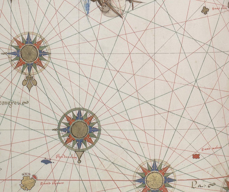 Vallard Atlas 1547 6 part St Helena Sao Tome Annobon Matthew
Public domain Annobón
Portolan map showing Sao Tome, Annobon, St. Helena and phantom island of St. Matthew.
-
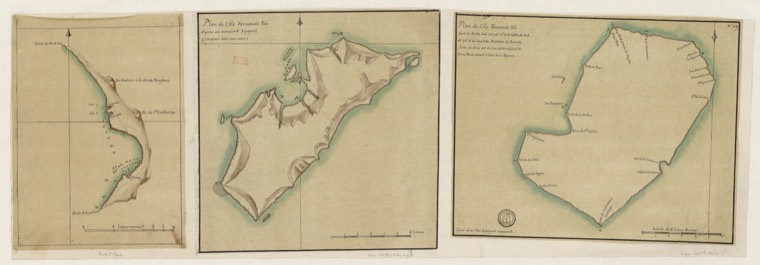 Plan de l'île Fernando Po - btv1b531687982
Public domain Fernando Pó
Langue : français
-
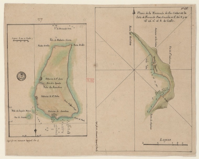 Ysla di Annobon - btv1b531688434
Public domain Annobón
Langue : italien
-
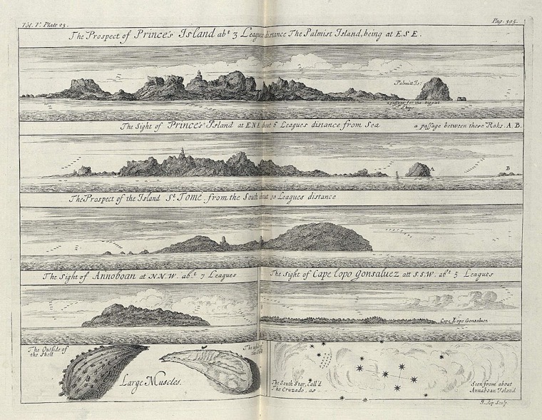 AMH-8148-KB Views of Princen Island, St. Thomé and Annobon
Public domain Annobón
Views of Princen Island, St. Thomé and Annobon. Top left: Vol. V. Plate 23. Top right: Pag. 395. Bottom left a mussel is shown, bottom right the Southern Cross.
-
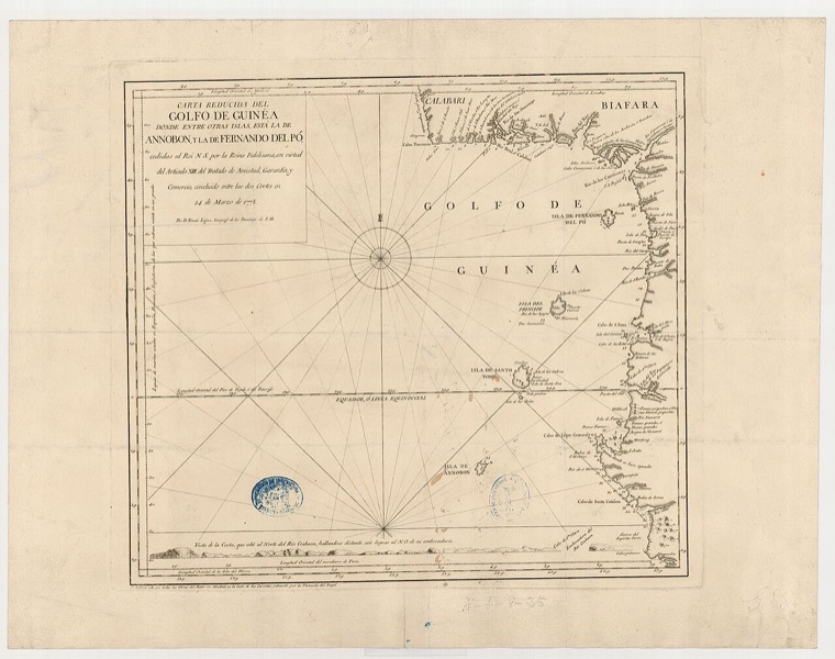 Carta reducida del Golfo de Guinea donde entre otras islas está la de Annobon y la de Fernando del Pó (1778)
CC BY 4.0 Annobón
Carta reducida del Golfo de Guinea donde entre otras islas está la de Annobon y la de Fernando del Pó (1778)
-
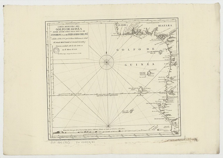 Carta reducida del Golfo de Guinéa Donde entre otras Islas, Esta la de Annobon, y la de Fernando del Po... concluido entre las dos cortes en 24 marzo de 1778 - por D. Thomas Lopez - btv1b532270212 (1 of 2)
Public domain Annobón
Sujet : Guinée, Golfe de Couverture : Golfe de Guinée Langue : espagnol Éditeur : [S. l., ca 1778]
-
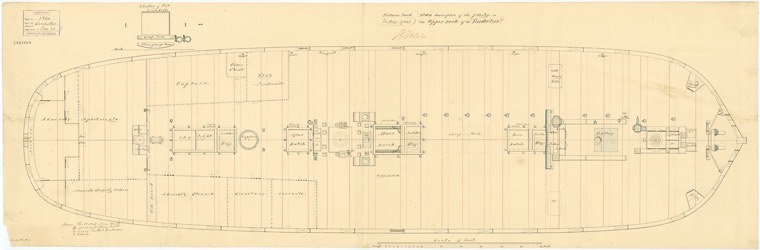 Vindictive (1813) RMG J4087
Public domain Fernando Pó
Vindictive (1813) Scale: 1:48. Plan showing the upper deck (main gun deck) with some deck fittings for Vindictive (1813), a 74-gun Third Rate, two-decker, as cut down to a 50-gun Frigate an…
-
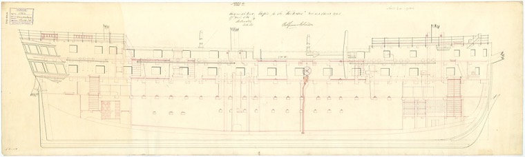 Vindictive (1813) RMG J4089
Public domain Fernando Pó
Vindictive (1813) Scale: 1:48. Plan showing the inboard profile for Vindictive (1813), a 74-gun Third Rate, two-decker, cut down to a 50-gun Frigate, and later fitted as a Storeship for Fer…
-
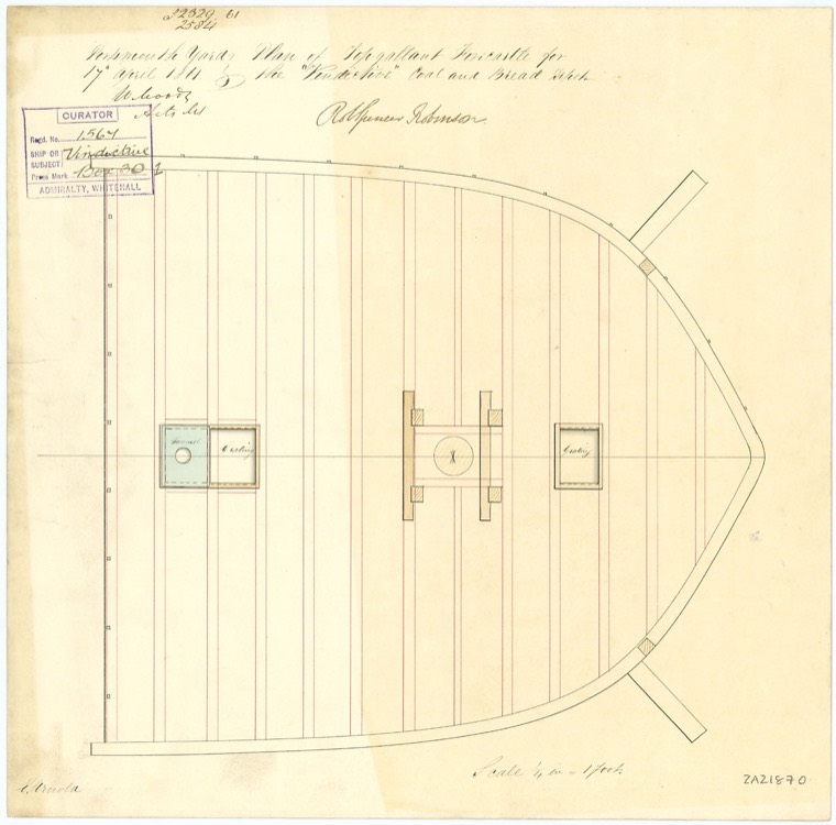 Vindictive (1813) RMG J4090
Public domain Fernando Pó
Vindictive (1813) Scale: 1:48. Plan showing the 'topgallant' forecastle for Vindictive (1813), a 74-gun Third Rate, two-decker, as cut down to a 50-gun Frigate and later converted to a Stor…
-
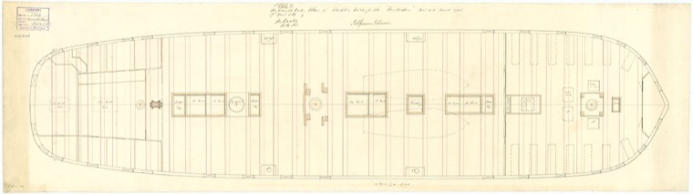 Vindictive (1813) RMG J4091
Public domain Fernando Pó
Vindictive (1813) Scale: 1:48. Plan showing the weather deck (upper deck) with some deck fittings for Vindictive (1813), a 74-gun Third Rate, two-decker, cut down to a 50-gun Frigate, and l…
-
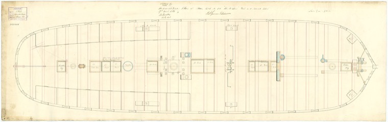 Vindictive (1813) RMG J4092
Public domain Fernando Pó
Vindictive (1813) Scale: 1:48. Plan showing the main deck (lower deck) with some deck fittings for Vindictive (1813), a 74-gun Third Rate, two-decker, as cut down to a 50-gun Frigate and la…
-
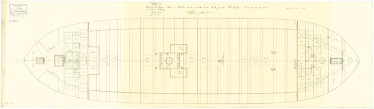 Vindictive (1813) RMG J4093
Public domain Fernando Pó
Vindictive (1813) Scale: 1:48. Plan showing the orlop deck with fore & aft platforms for Vindictive (1813), a 74-gun Third Rate, two-decker, as cut down to a 50-gun Frigate and later co…
-
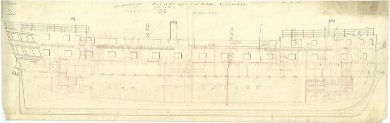 Vindictive (1813) RMG J4097
Public domain Fernando Pó
Vindictive (1813) Scale: 1:48. An office copy of a plan showing the inboard profile for Vindictive (1813), a 74-gun Third Rate, two-decker, as cut down to a 50-gun Frigate and later convert…
-
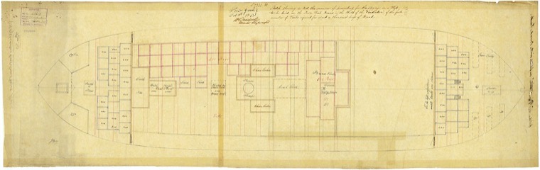 Vindictive (1813) RMG J4099
Public domain Fernando Pó
Vindictive (1813) Scale: 1:48. Plan showing the manner of stowage on a flat to be laid on the lower deck beans in the hold of Vindictive (1813), a 74-gun Third Rate, two-decker, as cut down…
-
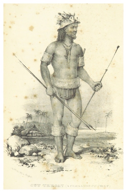 HOLMAN(1840) p289 CUT THOAT, A FERNANDO PO CHIEF
Public domain Fernando Pó
-
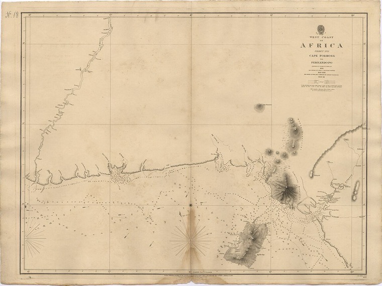 Admiralty Chart No 1357 Cape Formosa to Fernando Po, Published 1841
Public domain Fernando Pó
Nautical chart of the west Coast of Africa : Sheet XVII : Cape Formosa to Fernando Po (Bioko). Surveyed by Captain W.F.W. Oewn 1826 and Captain A.T.E. Vidal & Lieutenant Bedford 1836-183…
-
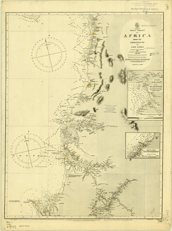 Admiralty Chart No 1361 Africa West Coast Sheet 20 Fernando Po to Cape Lopez, Published 1841
Public domain Fernando Pó
Nautical chart of the West Coast of Africa from Fernando Po to Cape Lopez. Surveyed by Captain W.F.W. Owen, 1826, and Captain A.T.E. Vidal and Lieutenant G.A. Bedford, 1836-1838. River Gabo…
-
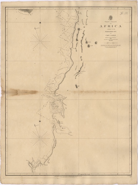 Admiralty Chart No 1361 Fernando Po to Cape Lopez, Published 1841
Public domain Fernando Pó
Nautical chart of the west Coast of Africa : Sheet XVIII : Fernando Po to Cape Lopez. Surveyed by Captain W.F.W. Oewn 1826 and Captain A.T.E. Vidal & Lieutenant Bedford 1836-1838. Not cu…
-
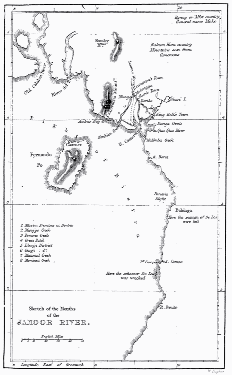 Map Cameroon Coast 1846 B002
Public domain Fernando Pó
Map of the Cameroon Coast with the mounths of the Jamoor River, Fernando Po (the contemporary Bioko) and the entries to the shipwreck and deathplace of the crew of the Schooner "De Los" Orig…
-
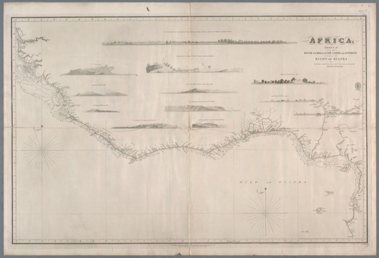 Africa. Sheet II- From the river Gambia to Cape Lopez and Annobon including the Bight of Biafra - 1812, 1826 and 1839-1846 -- by De Mayne ... et al. - KONB16-216731178 - Prent 1 van 1
Public domain Annobón
1e uitg.: 1827 --- Onderdeel van de reeks: Africa
-
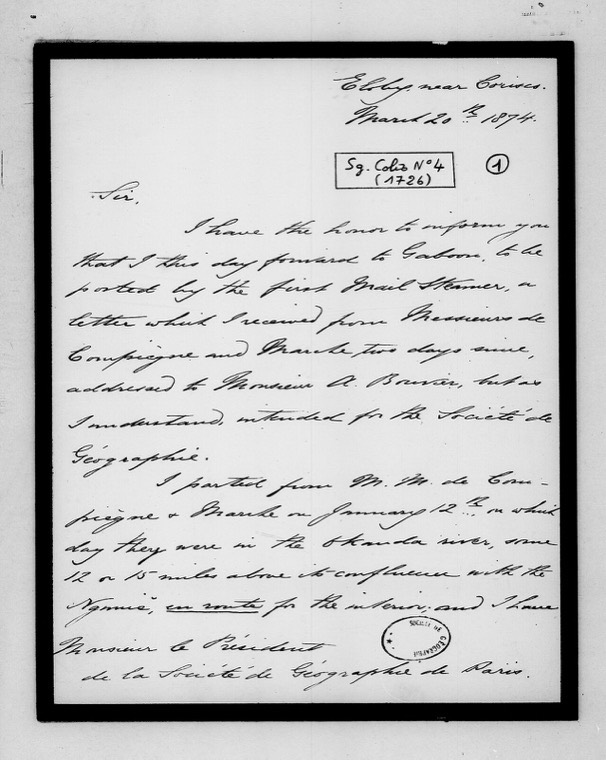 Lettre en anglais de R. B. N. Walker sur le voyage de Marche et Compiègne au Gagon, Elobey near Corisco, 20 mars 1874 - btv1b10890404z (1 of 2)
Public domain Corisco
Sujet : Compiègne, Victor Du Pont de (1846-1877) -- Voyages -- Gabon Marche, Alfred (1844-1898) -- Voyages -- Gabon Gabon, Colonie du Société de géographie (France) Appartient à l’ensemble d…
-
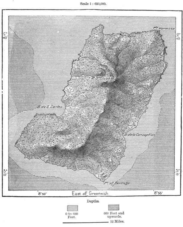 AFR V3 D147 Fernando-Po
Public domain Fernando Pó
Fernando-Po
-
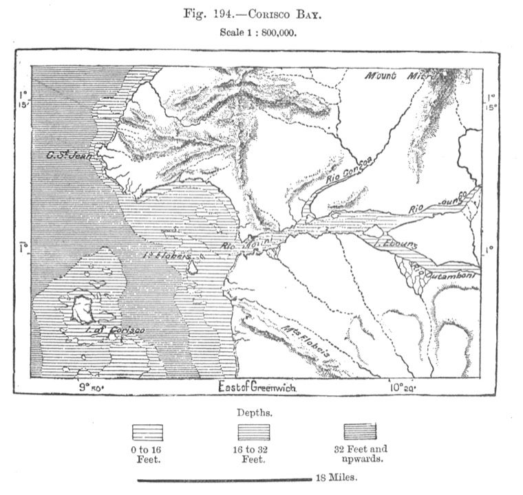 AFR V3 D491 Corisco Bay
Public domain Corisco
Corisco Bay
-
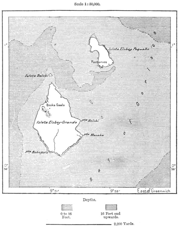 AFR V3 D492 Elobey Islands
Public domain Elobey
Wlobey Islands
-
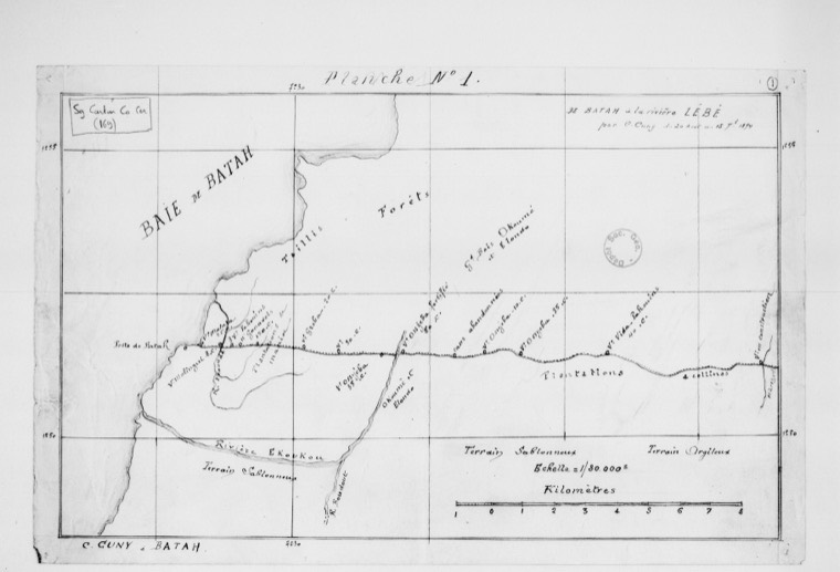 Cartes. C. Cuny, Rio Muni, août-octobre 1894 (6 cartes) - btv1b10874550c (1 of 6)
Public domain Río Muni
Sujet : Guinée Espagnole Rio Muni Échelle(s) : [Échelle non déterminée] Appartient à l’ensemble documentaire : MssSGE1 Couverture : Guinée équatoriale Langue : français
-
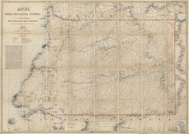 Muni - Guinea Continental Espańola LOC 2012590213
Public domain Elobey
Relief shown by shading. Also shows locations of Catholic churches and indigenous communities. Insets: Islote Elobey Peq́eño -- Angulo Suroeste de Corsico -- Cabo de San Juan y litoral inmed…
-
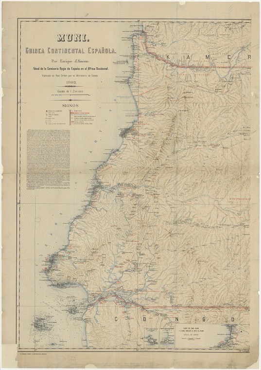 Muni - Guinea continental Espanola - por Enrique d'Almonte - btv1b531977976 (1 of 2)
Public domain Río Muni
Sujet : Rio Muni Guinée équatoriale Échelle(s) : 1:200 000 Couverture : Océan Atlantique Guinée équatoriale Langue : espagnol Éditeur : Lit. Mendez-Isabel la Católica (Madrid)
-
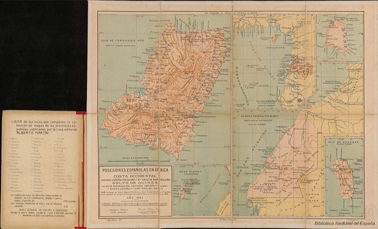 Posesiones españolas en África. Guinea Española y Sáhara Español. Benito Chías Carbó
CC BY 4.0 Corisco
Posesiones españolas en África. Costa Occidental (Sahara Español (Río de Oro) y Sta. Cruz de Mar Pequeña), Golfo de Guinea (Islas de Fernando Póo, Annobón, Corisco y Elobey y Guinea Española…
-
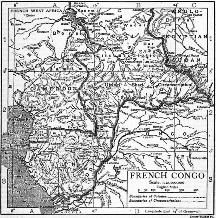 1911French Congo
Public domain Fernando Pó
A map of the French Congo, including Rio Muni, Fernando Po, and the German Cameroon c. 1911
-
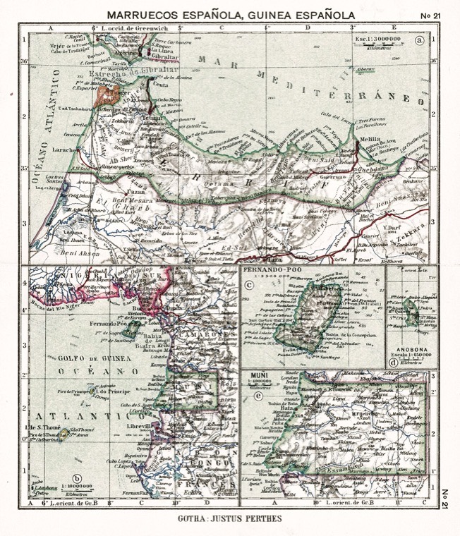 ATLAS JUSTUS PERTHES 09
Public domain Annobón
Mapa de las posesiones españolas en África: Protectorado de Marruecos y Guinea Española, con detalle de las islas de Fernando Poo [hoy día Bioko] y Annobón . Atlas portátil de España y Portu…
-
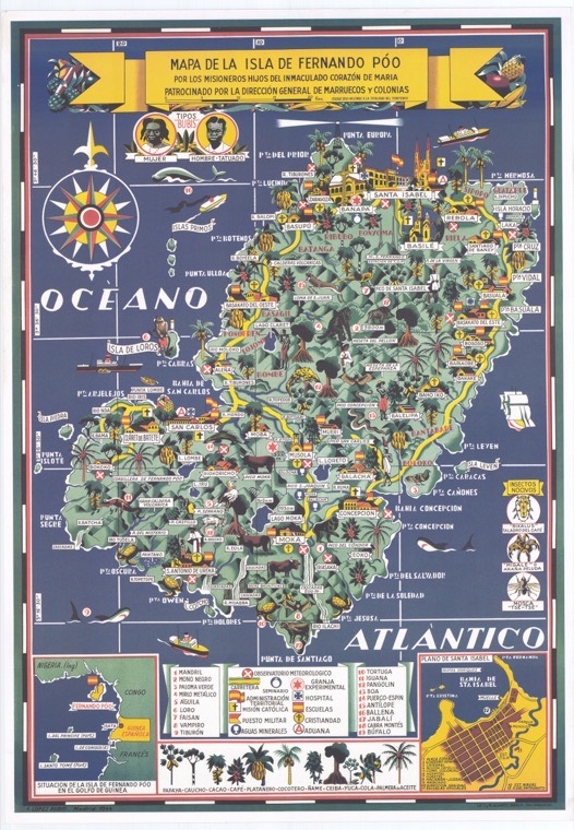 Bioco (Guinea Ecuatorial) (Isla). Mapas topográficos. 1944
CC BY 4.0 Bioko
Bioco (Guinea Ecuatorial) (Isla). Mapas topográficos. 1944
-
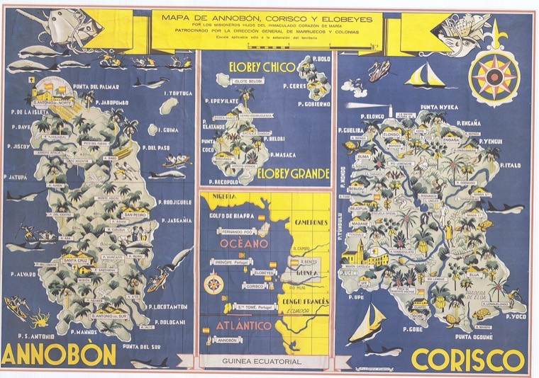 Mapa de Annobón, Corisco y Elobeyes. 1944
CC BY 4.0 Corisco
Mapa de Annobón, Corisco y Elobeyes. 1944
-
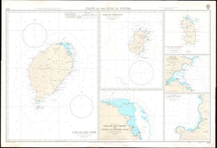 Admiralty Chart No 1595 Plans in the Gulf of Guinea, Published 1969
Public domain Carta náutica
Nautical chart of Plans in the Gulf of Guinea. Not current - not to be used for navigation!
-
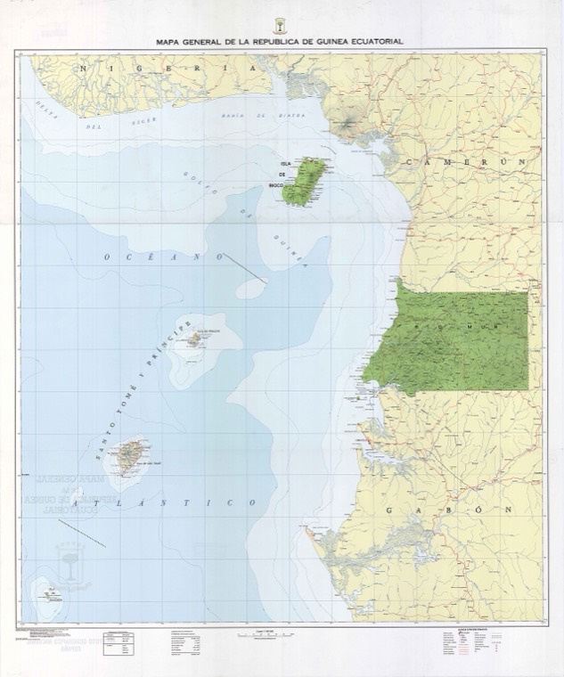 Mapa general de la República de Guinea Ecuatorial, 1983
CC BY 4.0 Guinea Ecuatorial
Map of Equatorial Guinea, showing the country in a continuous view (unlike the majority of maps of the country)
-
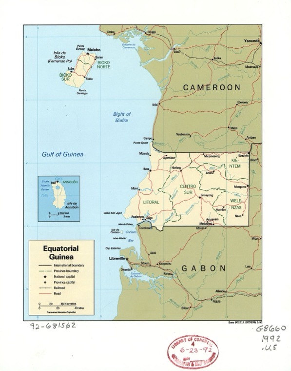 Equatorial Guinea. LOC 92681562
Public domain Annobón
"Base 801512 (E00309) 1-92." Available also through the Library of Congress Web site as a raster image. Inset: Annobon. ARP
-
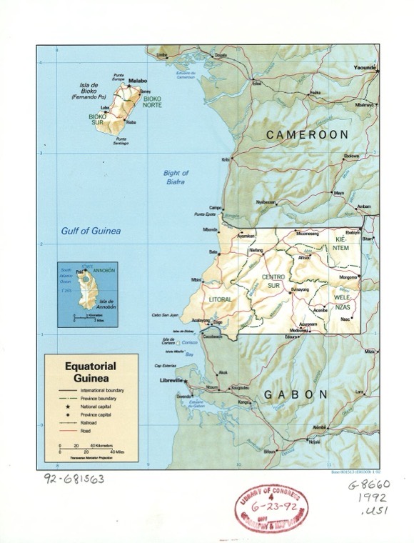 Equatorial Guinea. LOC 92681563
Public domain Annobón
Relief shown by shading. "Base 801513 (E00309) 1-92." Available also through the Library of Congress Web site as a raster image. Inset: Annobon. ARP
-
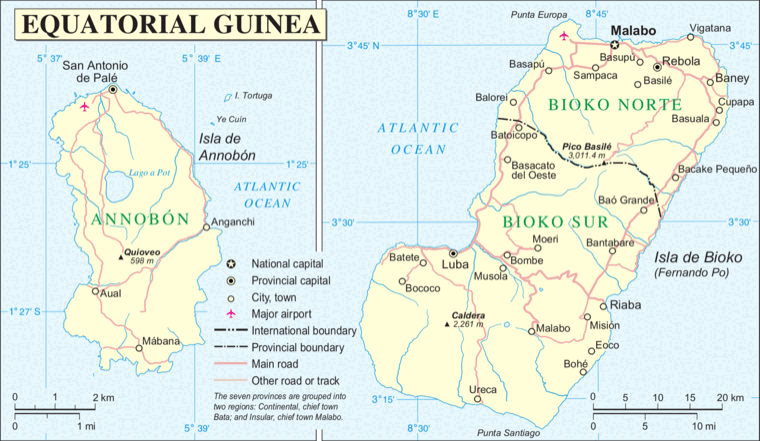 Annobón Bioko
Public domain Annobón
Map of Annobón and Bioko islands, the Insular Region of Equatorial Guinea.
-
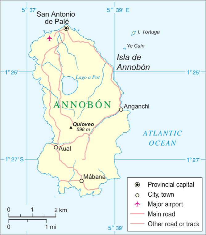 Annobón
CC BY-SA 3.0 Annobón
Maps of Annobon island, (Equatorial Guinea) in Spanish
-
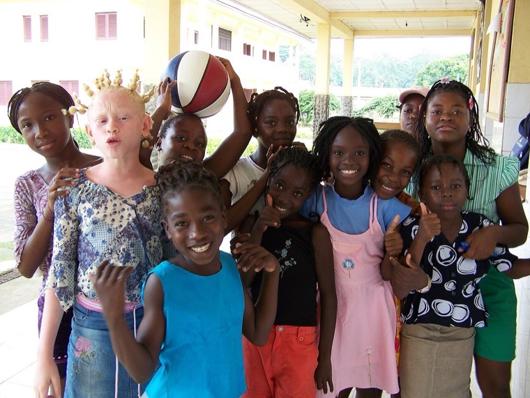 Guinea Ecuatorial (3067167211)
CC BY 2.0 Guinea Ecuatorial
Guinea Ecuatorial Guinea Ecuatorial Voluntariado en Guinea Ecuatorial (2008)
-
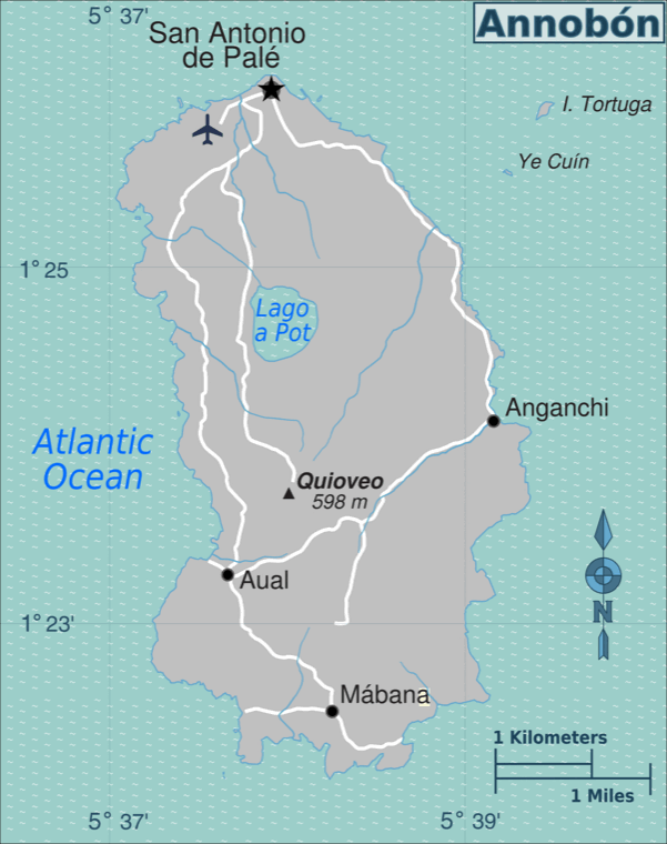 Annobon map
CC BY 3.0 Annobón
Map of Annobón (Equatorial Guinea) for use on Wikivoyage
-
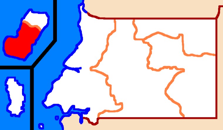 Bioko
CC BY 3.0 Bioko
Towns with Pichi-speaking communities in Bioko (in bold) © Kofi Yakpo, 2009
-
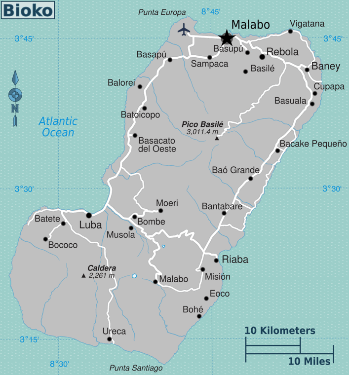 Bioko map
CC BY 3.0 Bioko
Map of Bioko (Equatorial Guinea) for use on Wikivoyage, English version
-
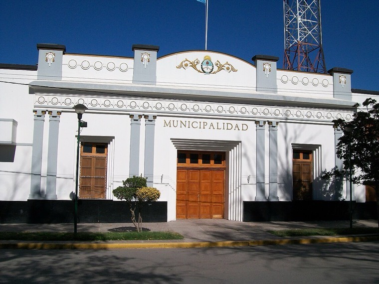 Muni Allen
CC BY-SA 4.0 Río Muni
Edificio central de la Municipalidad de Allen. Ubicado la esquina de las calles Libertad y Sarmiento. Localidad de Allen, provincia de Río Negro. Argentina
-
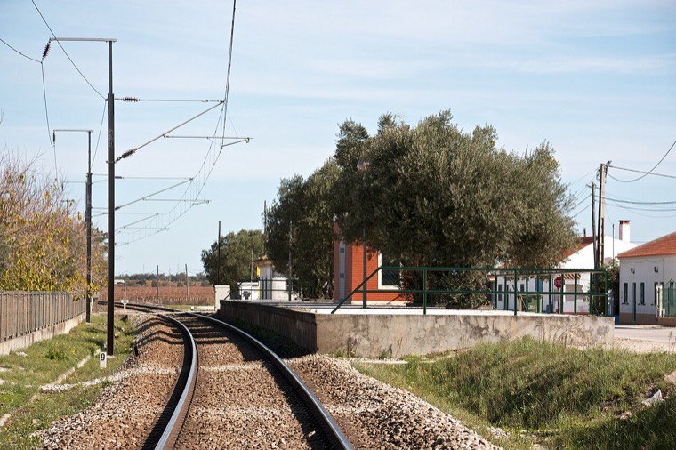 Apeadeiro de Fernando Pó, 2011.11.14 (8187006545)
CC BY-SA 2.0 Fernando Pó
Tipo: A [Apeadeiro] Local: Fernando Pó [Linha do Linha do Alentejo, PK 34] Data e hora: 14 de Novembro de 2012 [13h39]
-
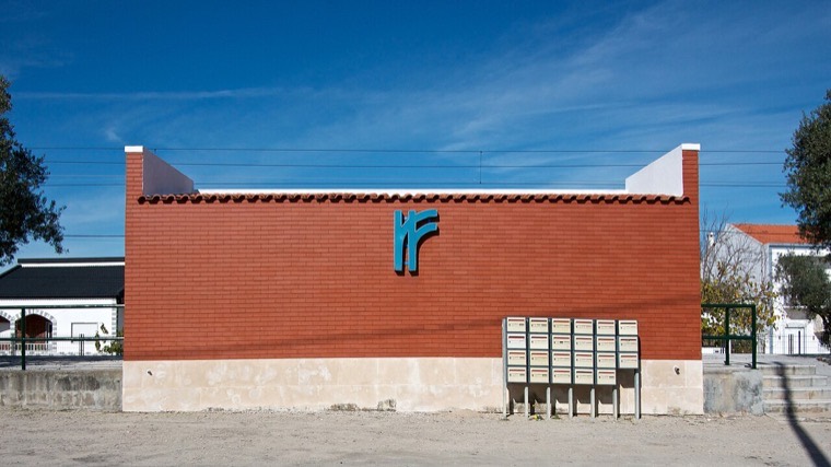 Apeadeiro de Fernando Pó, 2011.11.14 (8188087460)
CC BY-SA 2.0 Fernando Pó
Tipo: A [Apeadeiro] Local: Fernando Pó [Linha do Linha do Alentejo, PK 34] Data e hora: 14 de Novembro de 2012 [13h41]
-
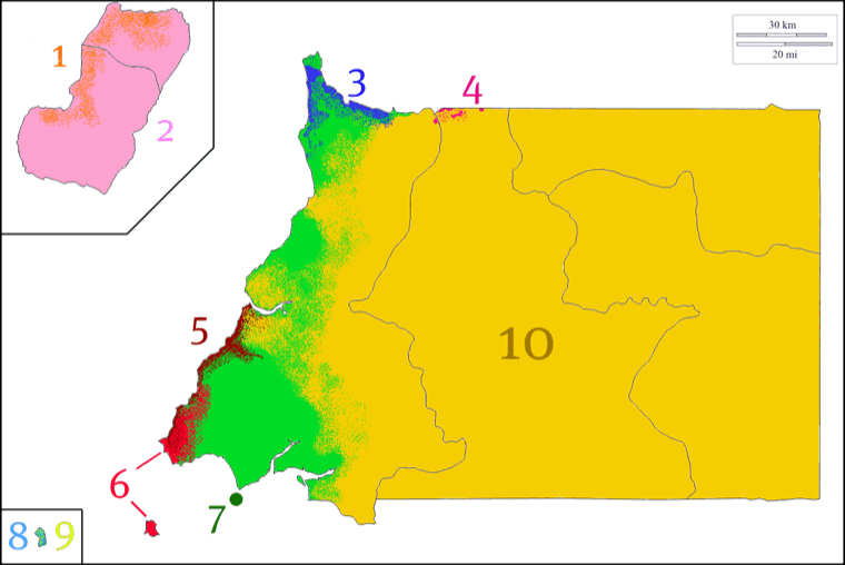 Equatorial Guinea's ethnic groups
CC BY-SA 3.0 Malabo
This map shows the Ecuatorial Guinea's ethnic groups distribution. 1. Fernandino or Criollo people: in Malabo city and Luba 2. Bubi people: in Bioko Island 3. Yasa people from the ndowe gro…
-
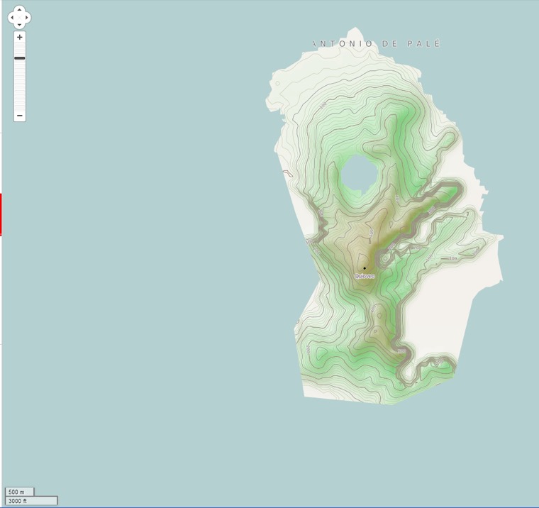 Dobra godina-cycle-OSM
CC BY-SA 2.0 Annobón
OpenStreetMap map of Annobon island
-
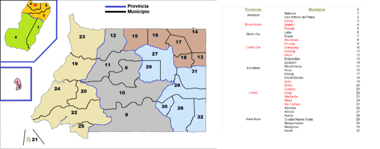 Municipalities of Equatorial Guinea
CC0 Guinea Ecuatorial
The 32 municipalities that belongs to the 7 provinces of the Republic of Equatorial Guinea.
-
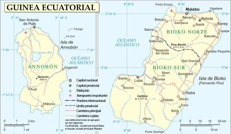 Annobón Bioko-es
Public domain Annobón
Maps of Annobon and Bioko islands, (Equatorial Guinea) in Spanish
-
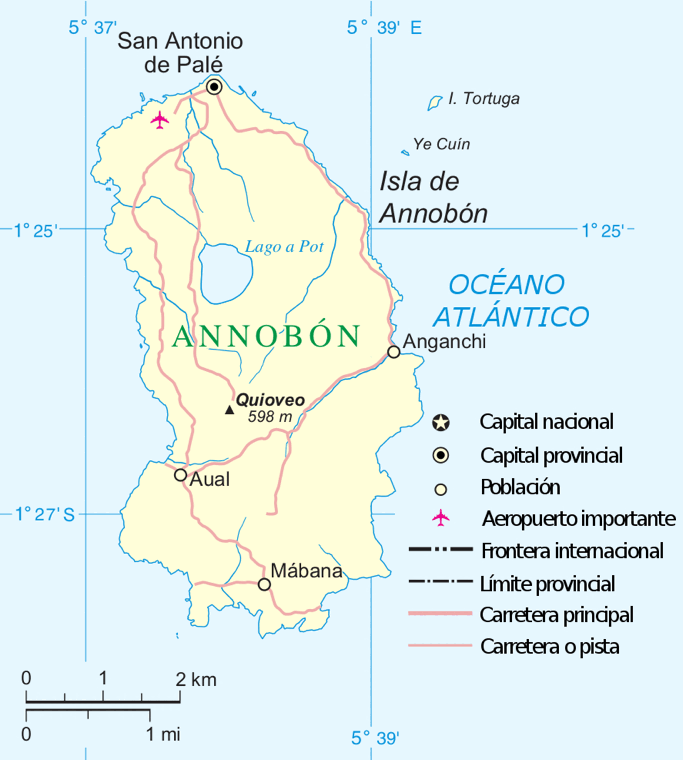 Annobón-es
Public domain Annobón
Maps of Annobon island, (Equatorial Guinea) in Spanish
-
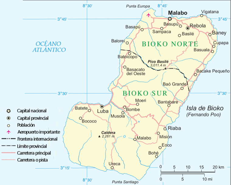 Bioko-es
Public domain Bioko
Map of the island of Bioko, Equatorial Guinea, in Spanish
-
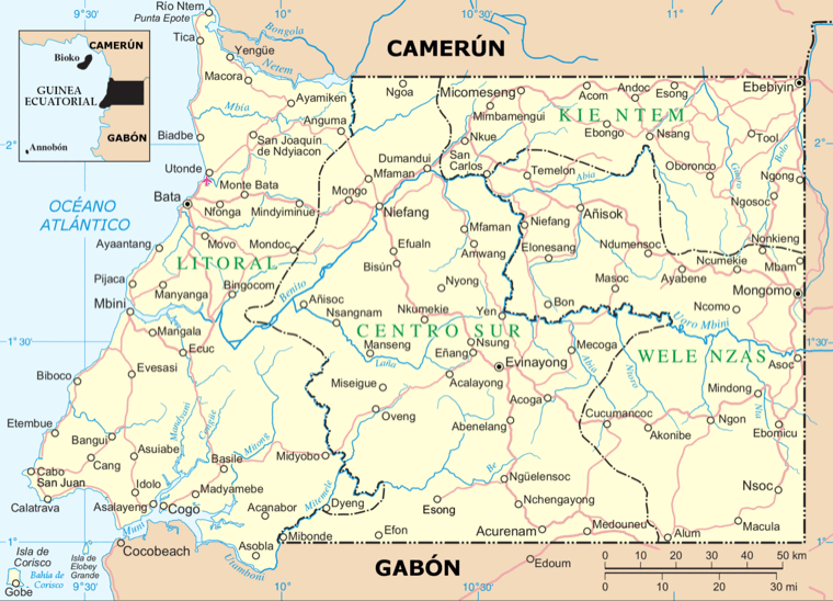 Mbini-es
Public domain Guinea Ecuatorial
Map of continental part of Equatorial Guinea, in Spanish
-
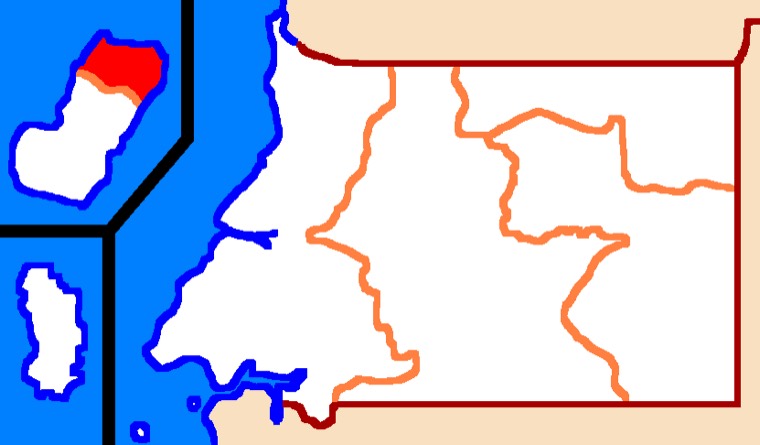 Bioko Północne Mapa Gwinei Równikowej prowincje
CC BY-SA 4.0 Bioko
Bioko Północne Mapa Gwinei Równikowej prowincje
-
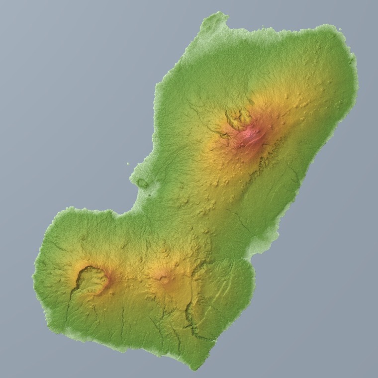 Bioko Relief Map, SRTM-1
Public domain Bioko
Bioko in Equatorial Guinea.
-
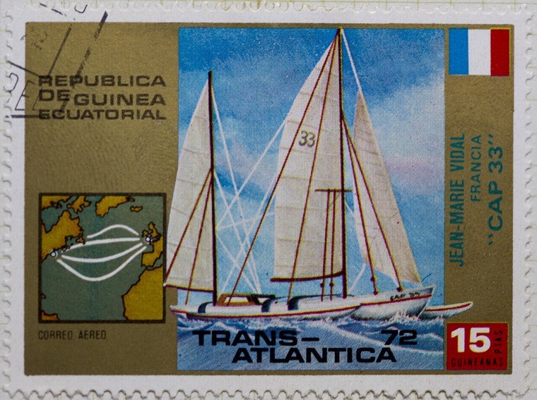 Guinea Ecuatorial Trans Atlantica Cap 33
CC BY 2.0 Guinea Ecuatorial
Sellos de Guinea Ecuatorial
-
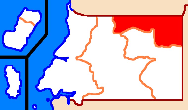 Kié-Ntem Mapa Gwinei Równikowej prowincje
CC BY-SA 4.0 Río Muni
Kié-Ntem Mapa Gwinei Równikowej prowincje
-
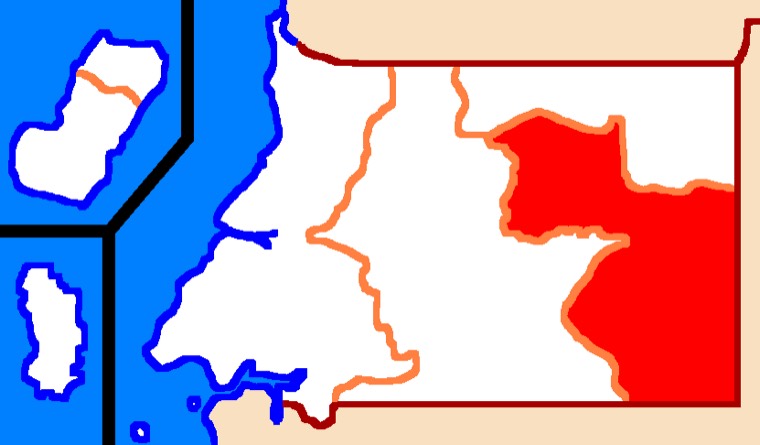 Wele-Nzas Mapa Gwinei Równikowej prowincje
CC BY-SA 4.0 Río Muni
Wele-Nzas Mapa Gwinei Równikowej prowincje
-
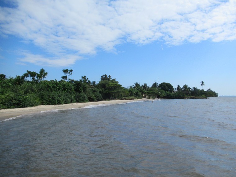 Estuaire du Muni (39742223523)
CC BY 2.0 Río Muni
The small town of Cocobeach on the Estuaire du Muni in Gabon, Central Africa, lives up to its name. Photos taken by David Stanley on a visit to Cocobeach, Gabon, Central Africa.
-
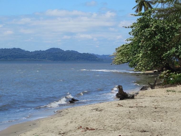 Hills of Equatorial Guinea (46713576021)
CC BY 2.0 Río Muni
The hills of Equatorial Guinea loom across the Estuaire du Muni from Cocobeach, Gabon, Central Africa. Photos taken by David Stanley on a visit to Cocobeach, Gabon, Central Africa.
-
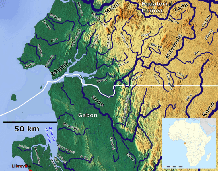 Muni beschriftet OSM
CC BY-SA 3.0 Río Muni
Der Muni Fluss (Ästuar) mit seinen Nebenflüssen_OSM. Based on US military map NA32
-
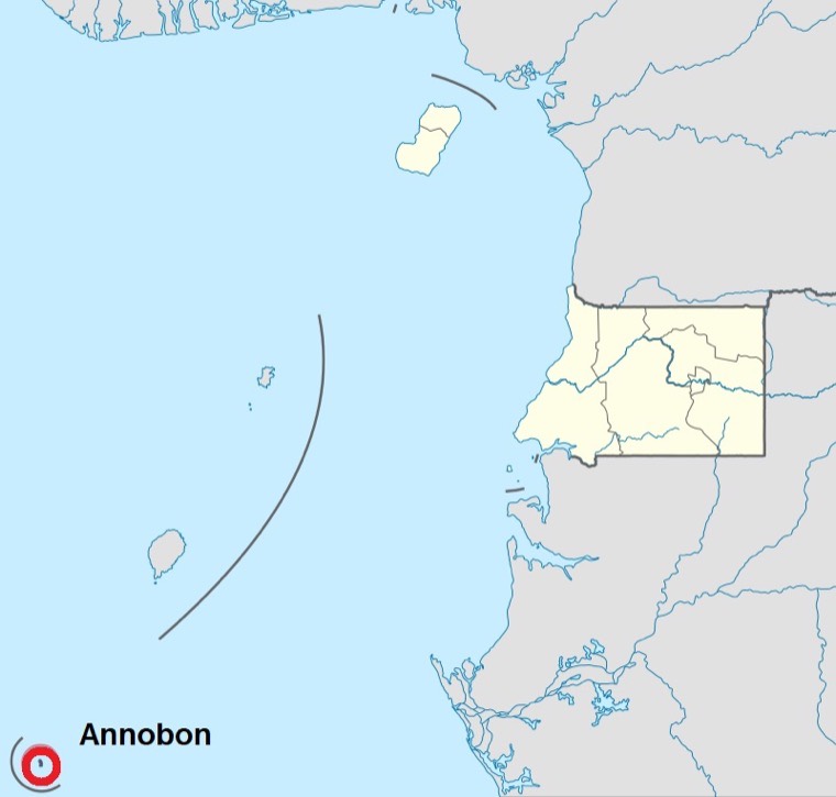 Annobon map (enhanced)
CC BY 3.0 Annobón
Location of Annabon Island in Equatorial Guinea, position graphically enhanced
-
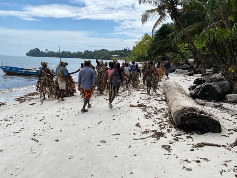 Fiesta tradicional de los Benga, Isla Corisco - Guinea Ecuatorial 01
CC BY-SA 4.0 Corisco
La fiesta tradicional de los Benga, se denomina Djombe. Fiesta que se celebra cada dia 18 de septiembre de cada año, se conmemora los diferentes asentamientos que atravesaron a lo largo de l…
-
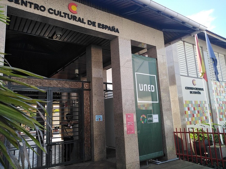 UNED Guinea Ecuatorial
CC BY-SA 2.0 Malabo
Entrada Centro Asociado de la UNED en Malabo
-
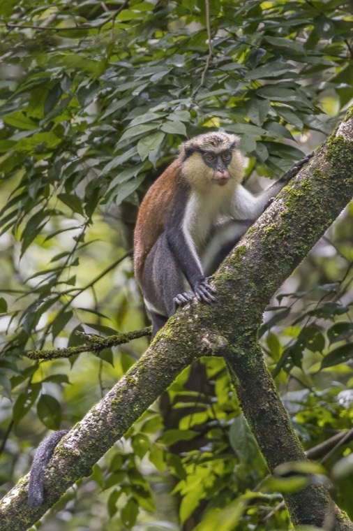 Mona monkey (Cercopithecus mona)
CC BY-SA 4.0 Annobón
Mona monkey (Cercopithecus mona), Near Porto Allegre, São Tomé and Príncipe
-
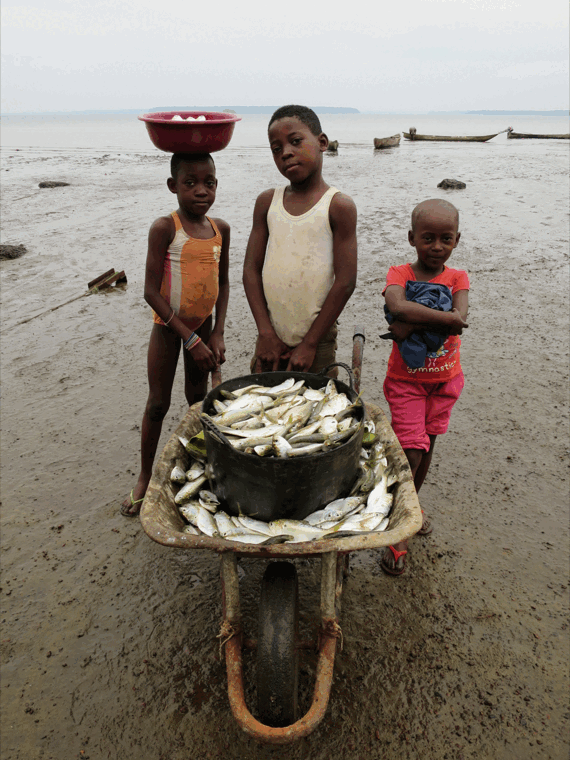 Niños pescadores en Kogo, Guinea Ecuatorial
CC BY 2.0 Guinea Ecuatorial
Fisher children in Kogo, Equatorial Guinea
-
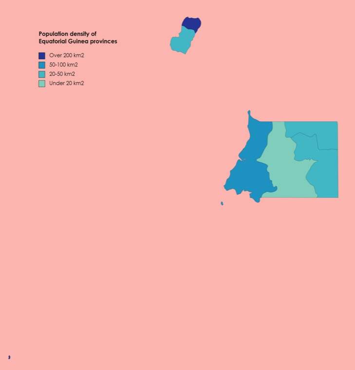 Population density of Equatorial Guinea provinces
CC BY-SA 4.0 Guinea Ecuatorial
2015 population density map of Equatorial Guinea provinces - per square kilometer
-
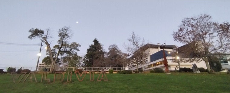 Letras valdivia y muni
CC BY-SA 4.0 Río Muni
espacio con pasto entre puente pdv y muni
-
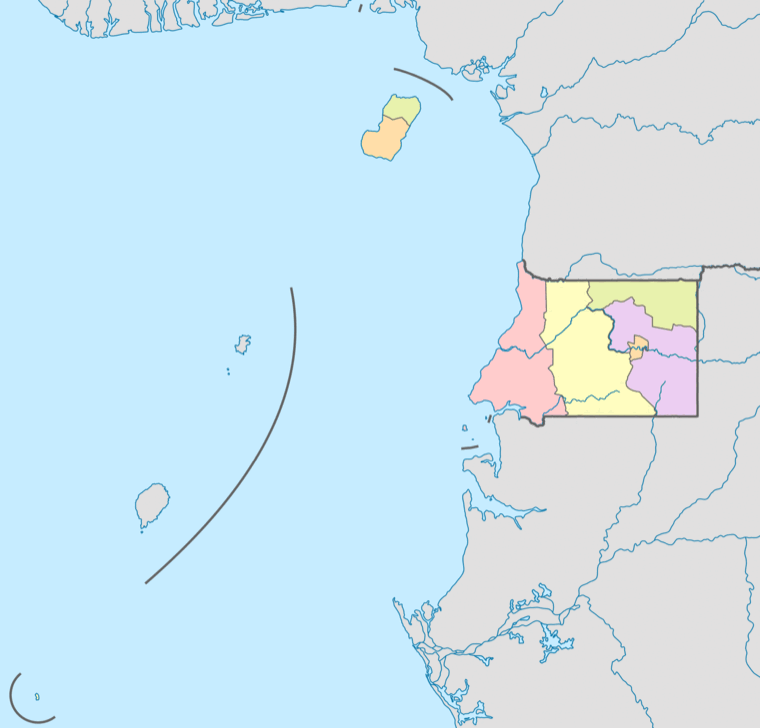 Mapa provincial de Guinea Ecuatorial (sin etiquetas)
CC0 Guinea Ecuatorial
Mapa provincial de Guinea Ecuatorial sin etiquetas.
-
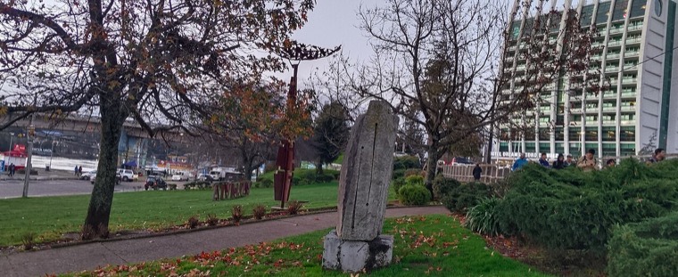 Vista esculturas
CC BY-SA 4.0 Río Muni
espacio con pasto entre puente pdv y muni
-
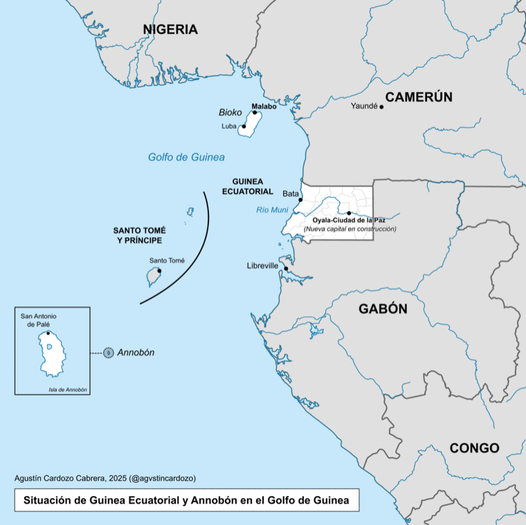 Mapa de la situación de Guinea Ecuatorial y Annobón en el Golfo de Guinea
CC BY 4.0 Annobón
Mapa de la situación de Guinea Ecuatorial y Annobón en el Golfo de Guinea. Gabón es un país de fuerte presencia fang (étnia dominante en Guinea Ecuatorial) y aliada a Obiang Nguema.
-
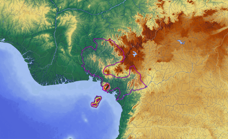 Cross-Sanaga-Bioko Coastal Forests Ecoregion - Relief Map
CC BY 4.0 Bioko
This map depicts the boundaries of the Cross-Sanaga-Bioko Coastal Forests Ecoregion (magenta outline). The relief map was sourced from maps-for-free.com (CC-0). Boundary data is from Ecoregi…
-
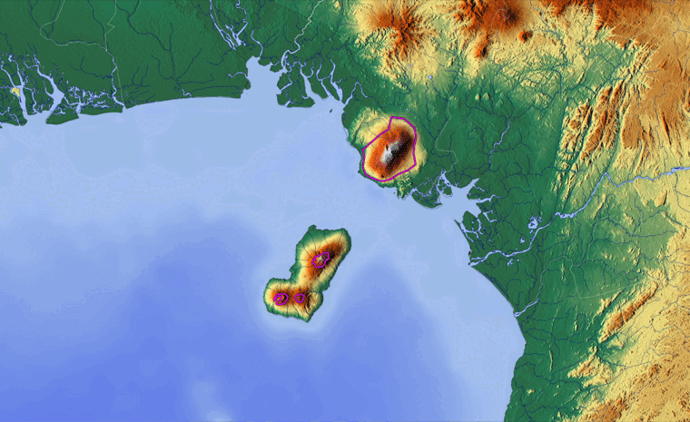 Mount Cameroon and Bioko Montane Forests Ecoregion - Relief Map
CC BY 4.0 Bioko
This map depicts the boundaries of the Mount Cameroon and Bioko Montane Forests Ecoregion (magenta outline). The relief map was sourced from maps-for-free.com (CC-0). Boundary data is from E…
-
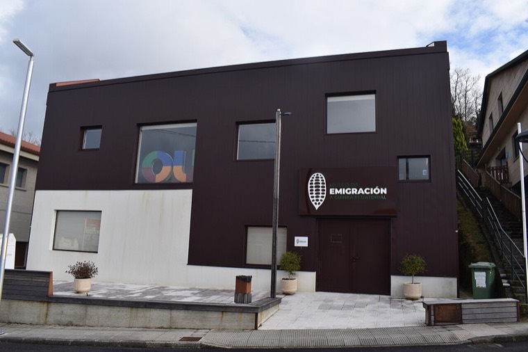 Museo da Emigración a Guinea Ecuatorial, en Leirado (Quintela de Leirado)
CC BY-SA 4.0 Guinea Ecuatorial
Museo da Emigración a Guinea Ecuatorial, en Leirado (Quintela de Leirado)
-
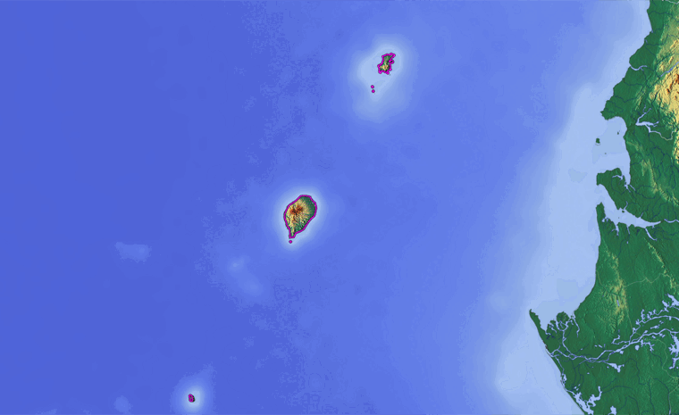 São Tomé, Príncipe, and Annobón Forests Ecoregion - Relief Map
CC BY 4.0 Annobón
This map depicts the boundaries of the São Tomé, Príncipe, and Annobón Forests Ecoregion (magenta outline). The relief map was sourced from maps-for-free.com (CC-0). Boundary data is from Ec…
-
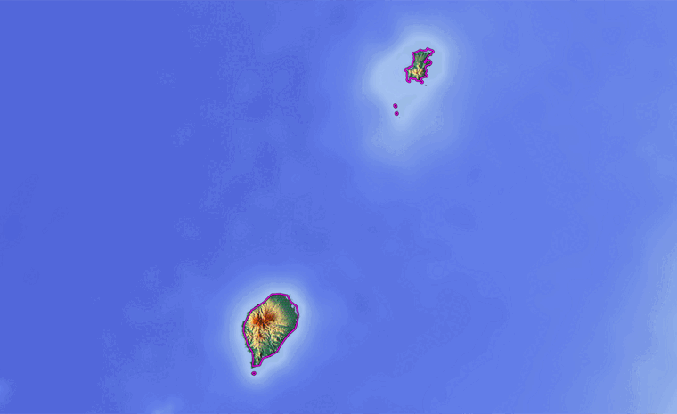 São Tomé, Príncipe, and Annobón Forests Ecoregion - Relief Map Zoom
CC BY 4.0 Annobón
This close-up map depicts the boundaries of the São Tomé, Príncipe, and Annobón Forests Ecoregion (magenta outline). The relief map was sourced from maps-for-free.com (CC-0). Boundary data i…
-
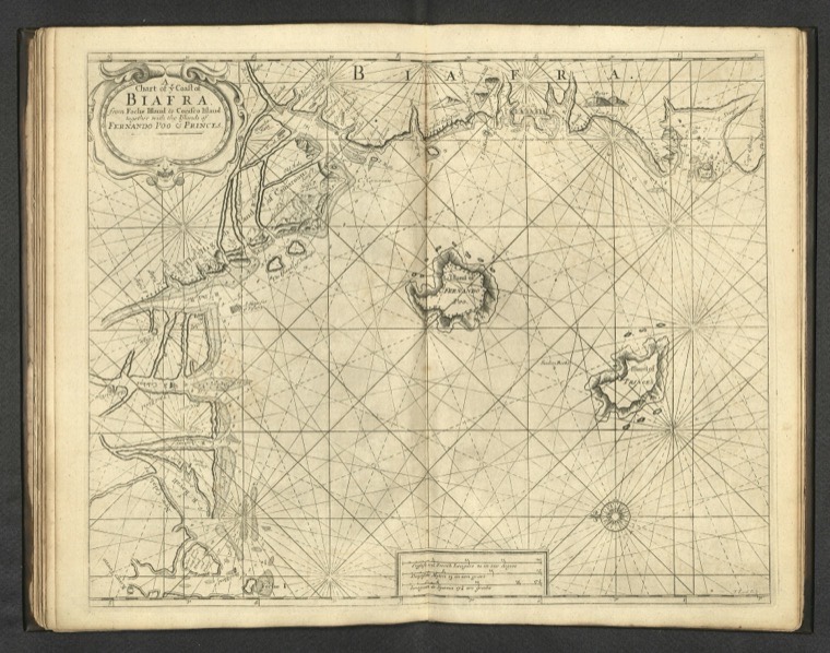 A chart of ye Coast of Biafra from Foche Island to Corisco Island together with the Islands of Fernando Poo & Princes. F. (IA dr a-chart-of-ye-coast-of-biafra-from-foche-island-to-corisco-island-together-14347047)
Public domain Corisco
Zoomable full resolution image available at davidrumsey.com.This image 14347.047 is a part of image group 14347.000.Nautical chart of the coast of Biafra, including the islands Corsico, Fern…
-
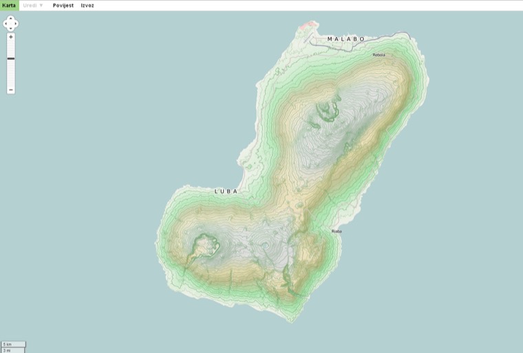 Bioko-cycle map
CC BY-SA 3.0 Bioko
Island of Bioko
-
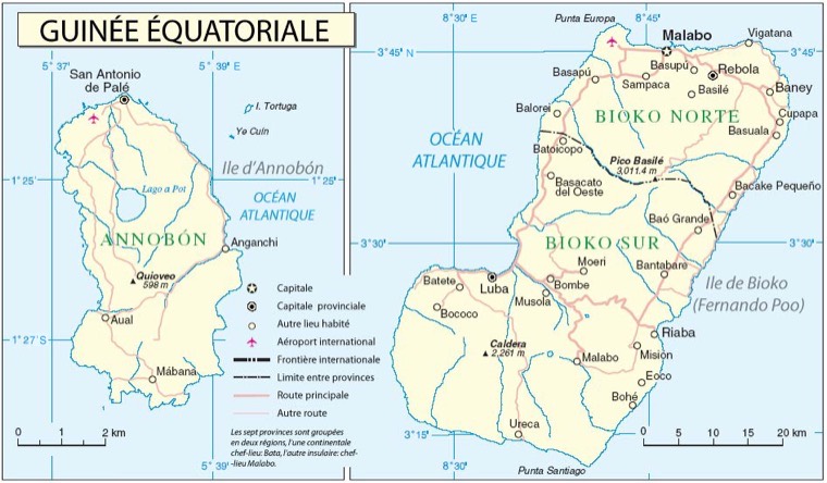 Biokoannobonfr
CC BY-SA 3.0 Annobón
Maps of Annobon and Bioko islands, (Equatorial Guinea) in Spanish
-
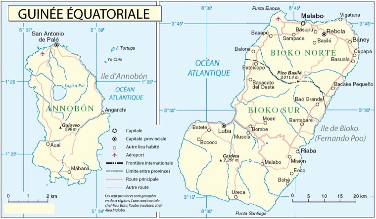 Biokoannobonfr2
CC BY-SA 3.0 Annobón
own work based on http://www.un.org/Depts/Cartographic/map/profile/eqguinea.pdf travail personnel basé sur http://www.un.org/Depts/Cartographic/map/profile/eqguinea.pdf --Kimdime69 17:40, 1…
-
 ELobey
CC BY-SA 2.5 Elobey
adaptation libre de http://commons.wikimedia.org/wiki/Image:Xenuobey4fa.png
-
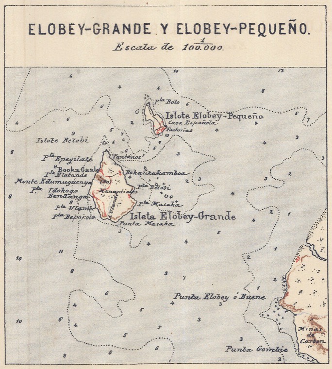 ELobey
CC BY-SA 2.5 Elobey
adaptation libre de http://commons.wikimedia.org/wiki/Image:Xenuobey4fa.png
-
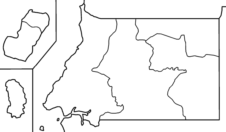 Equatorial Guinea provinces blank
CC BY 2.5 Guinea Ecuatorial
Blank map of the provinces of Equatorial Guinea, useful for numbering/labelling in other languages. Made by User:Golbez.
-
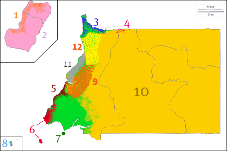 Equatorial Guinea's ethnic groups by zones
CC BY-SA 3.0 Guinea Ecuatorial
Distribución geográfica de las etnias de Guinea Ecuatorial
-
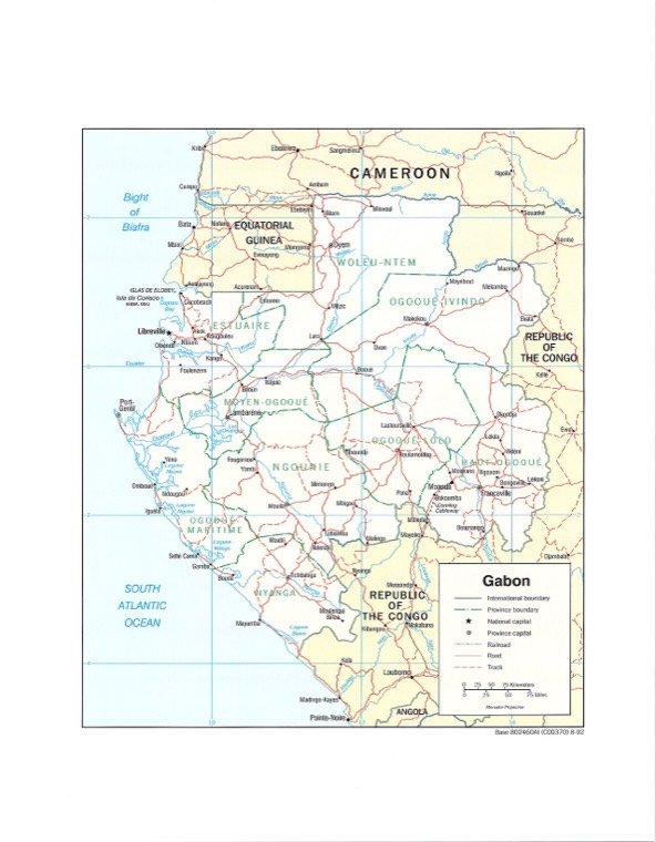 Gabon - DPLA - 44c9ce5a84d164e57373e87c845b2f2a
Public domain Corisco
Includes Islas de Elobey and Isla de Corisco (Equatorial Guinea).
-
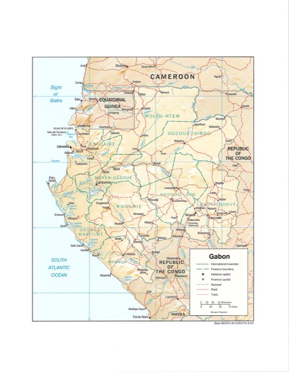 Gabon - DPLA - af53e8aa990e5bd92f986d2b1ecbf7e7
Public domain Corisco
Includes Islas de Elobey and Isla de Corisco (Equatorial Guinea).
-
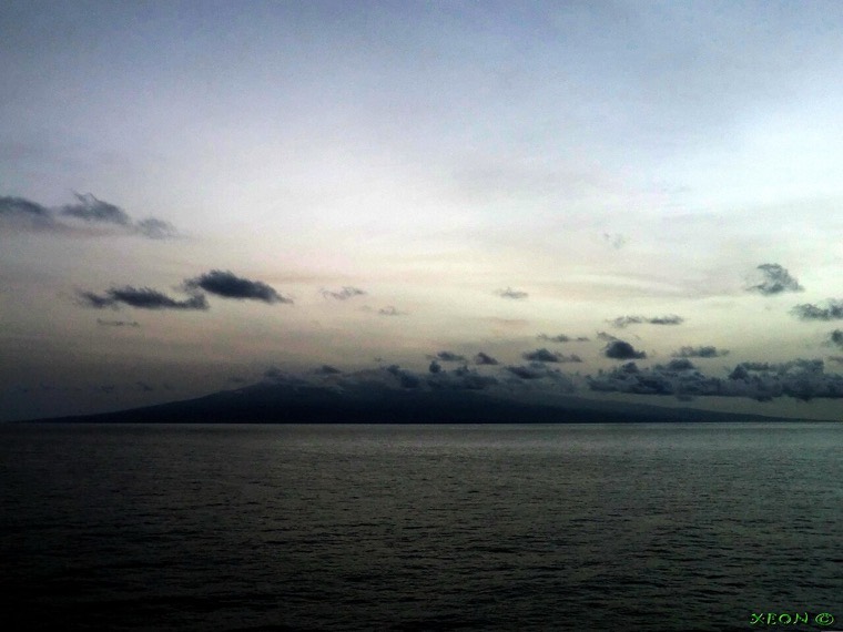 Isla De Bioko - Fernando Poo - Ecuatorial Guinea - panoramio
CC BY 3.0 Fernando Pó
Isla De Bioko - Fernando Poo - Ecuatorial Guinea
-
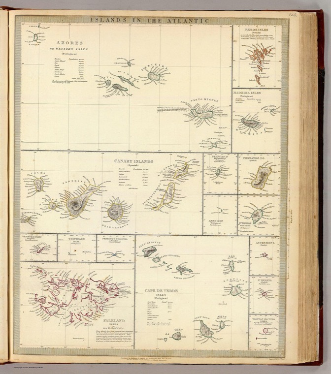 Islands in the Atlantic. Azores or Western Isles. Faeroe Isles. Madeira Isles. Canary Islands. Princes Id. Fernando Po. Anno (IA dr islands-in-the-atlantic-azores-or-western-isles-faeroe-isles-madeira-isl-00534054)
Public domain Fernando Pó
Zoomable full resolution image available at davidrumsey.com.This image 0890.124 is a part of image group 0890.000.Sixteen engraved maps on sheet. Relief shown by hachures and spot heights. C…
-
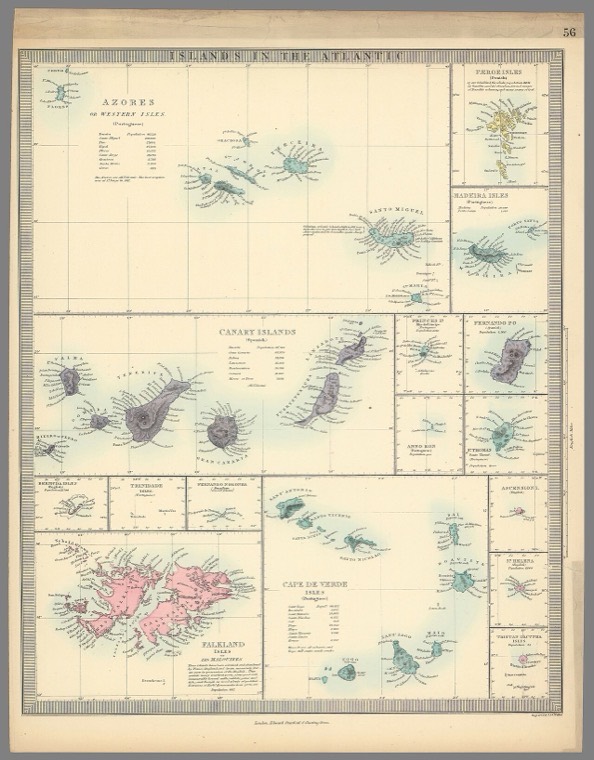 Islands in the Atlantic. Azores. Faeroe Isles. Madeira Isles. Canary Islands. Princes Id. Anno Bon. Fernando Po. St. Thomas. (IA dr islands-in-the-atlantic-azores-faeroe-isles-madeira-isles-canary-island-10911068)
Public domain Fernando Pó
Zoomable full resolution image available at davidrumsey.com.This image 10911.068 is a part of image group 10911.000.Hand colored; Geological map of England; star maps. This is a somewhat upd…
-
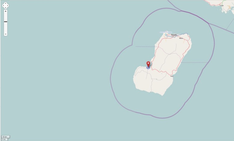 Luba, Bioko-OSM-standard.01
CC BY-SA 2.0 Bioko
OpenStreetMap map of Luba on the island of Bioko
-
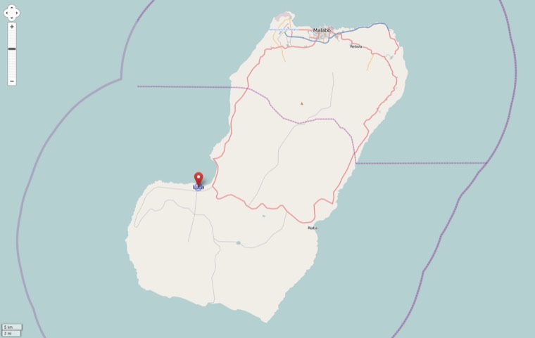 Luba, Bioko-OSM-standard.02
CC BY-SA 2.0 Bioko
OpenStreetMap map of Luba on the island of Bioko
-
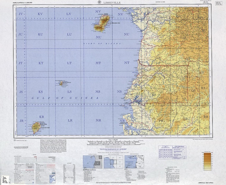 Map by the US Army Map Service - NA 32 - txu-oclc-6654394-na-32-3rd-ed
Public domain Annobón
NA 32 - Libreville [Rio Muni (Spain), Fernando Poo (Spain), Cameroon, Gabon, Sao Tome e Principe (Portugal)] Series 1301, Edition 2-AMS (6.1MB) - World - International Map of the World, 1:1,…
-
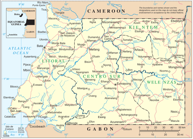 Mbini
Public domain Bata y Litoral
-
 Muni Valdivia
CC BY-SA 4.0 Río Muni
Valdivia (ciudad de Chile, capital de la región de Los Ríos)
-
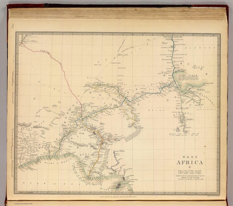 West Africa II. Published under the superintendence of the Society for the Diffusion of Useful Knowledge. Engraved by J. & C. (IA dr west-africa-ii-published-under-the-superintendence-of-the-society-for-the-00534052)
Public domain Fernando Pó
Zoomable full resolution image available at davidrumsey.com.This image 0890.122 is a part of image group 0890.000.Engraved map. Relief shown by hachures. Boundaries, coastal waters, lakes an…


Ningún mapa con ese criterio. Prueba con menos palabras o quita los filtros.
§02 La regla
Qué se reproduce y qué se cita
SE REPRODUCE
Dominio público, CC0, o Creative Commons con atribución
Con el crédito literal al titular, visible al lado del material. En el directorio hay 49 mapas con Creative Commons y 45 en dominio público.
SE CITA Y SE ENLAZA
Sin licencia declarada, no comercial, o con derivadas prohibidas
El escaneo es de quien es: no se reproduce, se enlaza al original con el titular al lado. Del barrido completo de 1.679 ítems, 1.577 no se reproducen por esto.
Método: Barrido por palabra clave sobre los catalogos publicos, deduplicado por identificador de item. · Hecho: 2026-10-30 · Fuente: 2026-10-30. Los diez documentos que sostienen las cifras del sitio están en la crónica.